On December 5-6, 2019, the E3-Project organized the international workshop "Mapping the unmappable? African hunter-gatherer relations with their environment and cartography" at the Thyssen Foundation in Cologne. The workshop explored if and how cartography can be used as a medium to understand African hunter-gatherer relations with their environment (their being-in-the-world).
Maps are powerful tools, as they are easily accessible and intelligible for researchers, policymakers, government officials, for the western public, and also for the respective indigenous communities. Therefore the mapping of hunter-gatherer "perceptions of " and "relations to" their environment can contribute (a) to the documentation and preservation of these aspects, and (b) to a wider and broader understanding of their complexity.
The workshop brought together a small group of anthropologists, archaeologists, geographers, and cartographers. Presentations included an overview about the first cultural mapping initiatives in Canada in the 1970s (Hugh Brody), a conceptual framework for mapping (Øyvind Eide), case studies in Southern and Eastern Africa (Tilman Lenssen-Erz, Ute Dieckmann, Sian Sullivan, Thea Skaanes and Mara J. Goldman), the use indigenous mapping in the context of land claims (Saskia Vermeylen, Hugh Brody), as well as innovative mapping practices from cartographers (Margaret Wickens Pearce, Frederik von Reumont). The workshop was funded by the CRC 806, the Competence Area IV “Cultures and Societies in Transition” and the Thyssen Foundation.
Text: Stephan Henn
Stephan Henn is a PhD-candidate in the E3-project. He is interested in the evolution of cooperation, decision-making, agent-based modeling, complex systems theory, network analysis and cognitive anthropology.
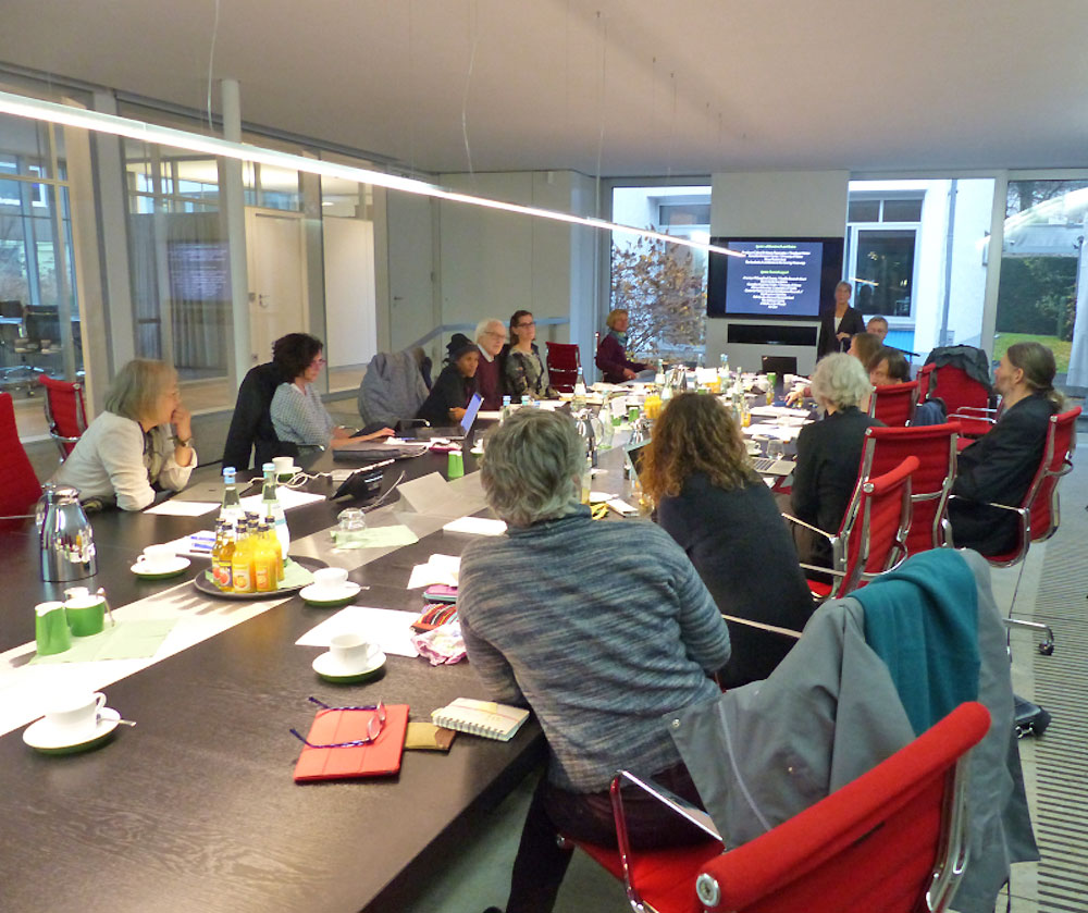 Impression of the workshop "Mapping the unmappable? African hunter-gatherer relations with their environment and cartography". Impression of the workshop "Mapping the unmappable? African hunter-gatherer relations with their environment and cartography".Photo: Stephan Henn |


