Currently, the Late Upper Palaeolithic site database of Project E1 comprises more than 1800 sites, and data acquisition (both of sites and raw material sources) is still in progress.
Nevertheless, first calculations of settlement areas and population density estimations using GIS-techniques (Thiessen polygons, interpolation with kriging) have already been completed successfully. The methods and preliminary results have been discussed and presented at different meetings and conferences, most recently at a PhD-workshop in May in Faro, Portugal. Moreover, methods and data were recently discussed with Jean-Pierre Bocquet-Appel (Directeur de recherché, CNRS), who gave a speech about his own Palaeodemography project in the frame of the CRC-Lecture Series.
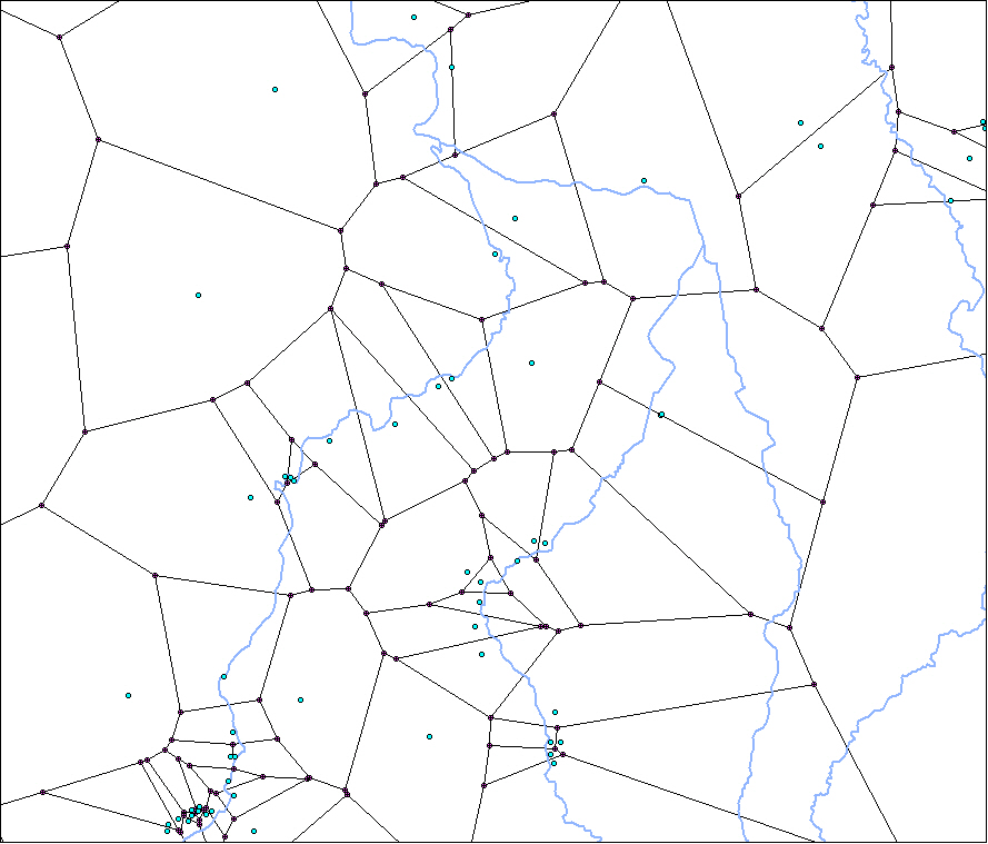 Thiessen polygons / Largest Empty Circle - East Germany |


