Recent field work in the Tibesti Mountains opens a new chapter in the reconstruction of the last climatic cycles in the central Sahara and their lacustrine environments.
For the first time, complete lacustrine sections were sampled in the 900 m deep crater of Trou au Natron at Pic Toussidé (3,315 m a.s.l.), and in 800 m deep Era Kohor, the major sub-caldera of Emi Koussi, the Sahara’s 3,445 m high peak. The probed diatomites are located 360 and 125 m above the present-day bottom of the calderas. Studies in the 1960s suggested that lake levels in the Trou au Natron were 300–500 m high at 12,400–14,970 uncal. yrs BP. Such lake depths and resulting water volumes, however, are hardly conceivable in view of the limited intake area and precipitation-evaporation ratios which would have required local rainfall by far surpassing estimates for latitudes 19–21°N from the full-Holocene record of Lake Yoa situated 460 or 220 km southeast, and 1,550 or 2,450 m (sic) lower. New AMS dates show that previous 14C dates were wrong and that differences in altitude cannot explain the unparalleled lake depths and postglacial humid conditions 4,000–7,000 years earlier than in the surrounding Saharan regions.
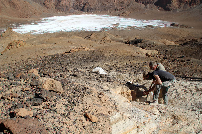 Sampling of lacustrine deposits in Era Kohor, Emi Koussi’s deepest caldera, at 125 m above present bottom. Photo: Adam Polczyk |
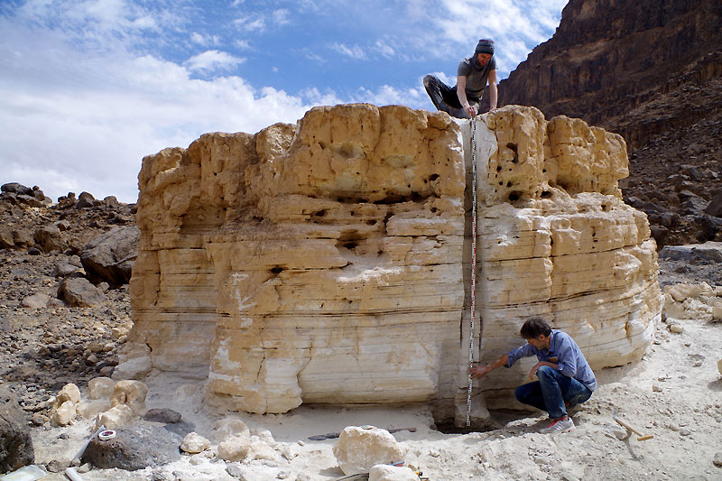 Extracted Holocene lake remains in the Trou au Natron at Pic Toussidé at 360 m above present bottom. Extracted Holocene lake remains in the Trou au Natron at Pic Toussidé at 360 m above present bottom.Photo: Stefan Kröpelin |


")

")
