During a field campaign in spring 2010, Terrestrial LiDAR (Light Detection And Ranging) was used in different limestone caves in northern Morocco to reconstruct cave morphology, geometry and dimension, as well as to support archaeologists in determining cave volume and cave shape. TLS is a stationary terrestrial remote sensing method based on contact-less scanning of the object.
Whereas Ifri Oudadane was scanned from 12 different scan positions with an average resolution of 15 mm, at Ifri n’Ammar 18 different scan positions were used, with an average point distance of 7 mm. Following data acquisition, transformation, cleaning and processing, first calculations and morphological reconstructions were undertaken. Terrestrial LiDAR has shown that cave morphology of Ifri Oudadane is very complex with contorted cave walls, whilst Ifri n’Ammar has straight cave walls with smooth surfaces. Regarding approximations the volume of each cave (based on a cuboid with maximum extents of x, y and z), we can state that Ifri Oudadane has a volume of c. 728 m3 and Ifri n’Ammar a volume of c. 2000 m3.
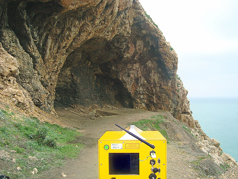 Scan position of the LiDAR investigation in front of Ifri Oudadane. Scan position of the LiDAR investigation in front of Ifri Oudadane. Photo: Thomas Wiatr |
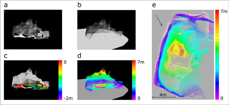 Morphological characterization using the example of Ifri n’Ammar. a) point cloud model of all scans b) model with a horizontal plane based on the in-situ soil cover in the cave c) cave morphology under the horizontal plane d) cave morphology above the horizontal plane e) topview with the heights of the cave above the plane Graphic: Thomas Wiatr |

 in caves of Morocco")


 NE-Morocco")

, NE-Morocco")


")
 in Nador (Morocco)")

