Since Babylonian times humans are known to capture the world they are living in by means of maps. We draw and retain maps every day, mentally, for ourselves. They play an immense role in the way we percept our surroundings. But only in a physical form, maps allow us to share the same view on our world. Nowadays, maps are more relevant and accessible than ever. We use them to find the next restaurant, as well as to teach schoolchildren the capitals of different countries. We have maps of the Moon, the Mars and the deep Sea and all in all it is common sense, that those maps represent reality as it is.
Outside of cartographic settings, few people know that even modern maps in times of satellite data are still constructing realities, rather than displaying them. As it is not possible to project the surface of a globe on a plain without distortion, one can choose between an equal-angle or an equal-area projection. Due to the needs of navigation, the traditional way to display maps is the equal-angle projection, which overemphasizes countries closer to the poles so that they appear bigger in comparison*.
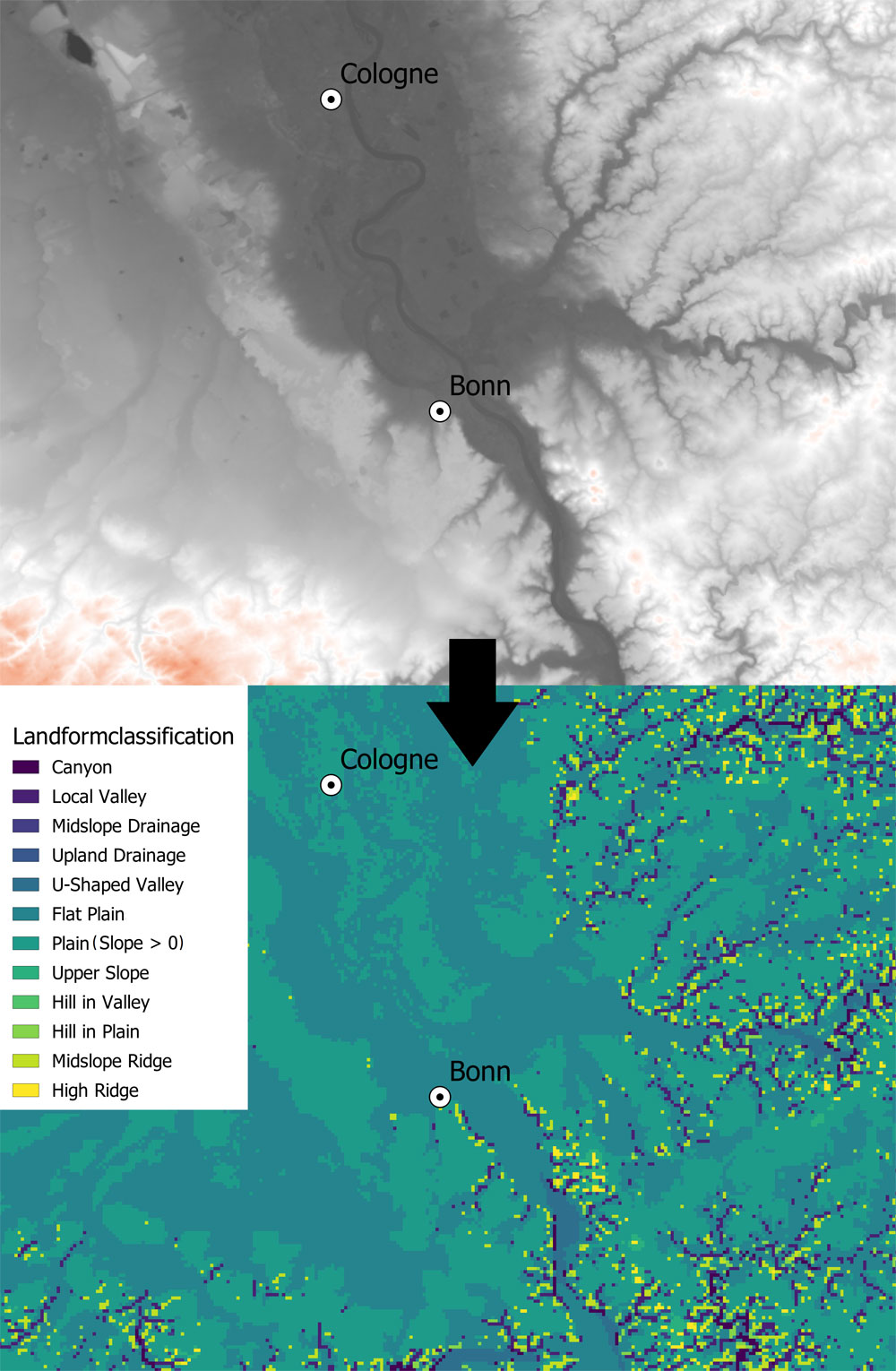
But even in an academic context, basic data is often used without proper source review. Digital elevation models (DEM) are for example the basis of many spatial related investigations and mappings in archaeology, which is also the case in the GEOPAL project. Although the acquisition of DEMs is highly elaborated, they must equally be considered an approximation to “reality”. They depend on many different factors such as resolution, dataset or residuals of anthropogenic features. This does not necessarily lead to poor data, but must be considered regarding the interpretation of results.
The awareness, that the data we use and produce underlies certain biases and that these have a main effect on the way we construct the perception of our world, must always play a key role in the communication of research.
* Want to compare the true size of your country? https://thetruesize.com/
Text: Jonathan Schoenenberg
Jonathan Schoenenberg is an affiliated member of the CRC in the D1-project. He is part of the GEOPAL project and is working on geotope reconstruction and is investgating the bioeconomic potential in Palaeolithic site territories.
|
Fig.1: Wood engraving of Ptolemaeus and Astronomia, Margarita |