Blog entry overview - all projects
Below a selction of entries is shown. Select the entry your interested in. For more entries select a specific project (right side):
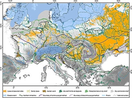
More than just a map – new insights on the distribution of loess in Europe
Maps are the most common way to visualise spatial data in an easily understandable way. Therefore, they are still used today as a powerful tool in, e.g., Quaternary sciences and...
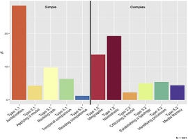
Results from an international textbook analysis: new publication in the Z4 project
Within the past year, we (Project Z4) centred our efforts on a large scale analysis of geography textbooks intended for secondary schools from England, Germany and France. Our goal was...
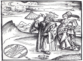
Constructed realities
Since Babylonian times humans are known to capture the world they are living in by means of maps. We draw and retain maps every day, mentally, for ourselves. They play...
Archaeology and Social Networks
The diffusion of knowledge is a pivotal task in the modern world, especially for archaeologists that are working at the front line of heritage reconstruction. In the last years, projects...
Archaeology and Colonialism. A comment.
In the past Europeans travelled to the colonies in Africa and extracted resources. Among the resources were artefacts that were part of the heritage of many different regions in Africa....
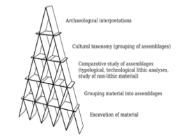
What’s your name? Reflections on naming and a possible way out
We love names. Names are the ultimate tool for organising our world in known entities, and archaeology does not make exception to that. In Palaeolithic Archaeology, French scholars have been...
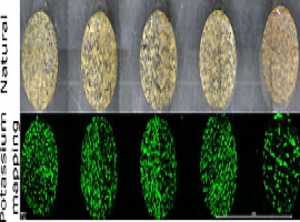
Improving dose rate determinations for rock surface luminescence dating: measuring potassium content within gneissic rocks with μ-XRF
Successful luminescence dating of potassium feldspar grains is dependent on reliable estimates of the dosing from ionising radiation from cosmic sources, surrounding sediments, and from the grains themselves. The internal...
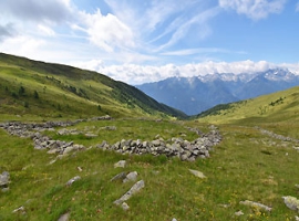
IRSL rock surface dating of dry-stone structures in the Trentino Alps with ALPES
Summer at 2300 m a.s.l. in the Italian Alps is nice but short (Fig. 1). Luckily, it’s not too short for some archaeological excavations among rock glaciers and malghas (overnight...
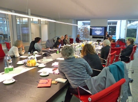
Workshop "Mapping the unmappable?"
On December 5-6, 2019, the E3-Project organized the international workshop "Mapping the unmappable? African hunter-gatherer relations with their environment and cartography" at the Thyssen Foundation in Cologne. The workshop explored...
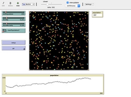
Exploring Demography and Mobility using Agent-Based Modelling
Human mobility and demography are intrinsically related. Most prominently is the idea that human migration is driven by population growth. But there is more to it. Already in the demographic...
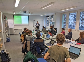
Workshop on Geometric Morphometrics for Archaeologists
On the 12th and 13th of October 2019 Dr Christian Hoggard (Department of Archaeology, University of Southampton) gave an introduction into “Geometric Morphometrics for Archaeologists”. Geometric Morphometrics (GMM) focuses on...
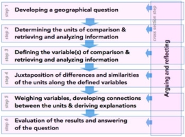
How to use comparison as a method in geography classes?
Project Z4 is focused on how we can bring the CRC-806 findings and results to schools and to pupils. More precisely, the focus is on the ways comparison is used...
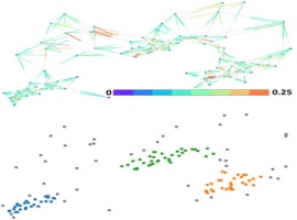
A fuzzy clustering approach for archaeological data
Spatio-temporal clustering schemes for archaeological sites face challenges when dealing with probabilistic interpretation of uncertain dating and calibration outcomes of archaeological findings. The calibration of radiocarbon dates yields an entire...
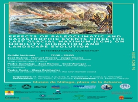
International workshop on Effects of paleoclimatic and catastrophic events since the Last Glacial Maximum (LGM) on mobility, migration, and landscape evolution.
On the 13-16th of November, the Museo de Málaga (Spain) hosted an international workshop about Effects of paleoclimatic and catastrophic events since the Last Glacial Maximum (LGM) on mobility, migration,...
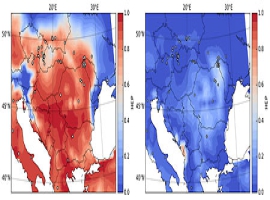
Change of Human Existence Potential during Heinrich Events
Heinrich events (HEs) are recognized as the dominant periods of extreme cold terrestrial climate conditions during the last glacial period. HEs indicate a remarkable source of fresh and cold water...
