Three month after the first journey to Southern Ethiopia, a group of scientists from the Institute of Geophysics and Meteorology of the University of Cologne and Ethiopian colleagues from the University of Addis Ababa conducted a second geophysical field campaign in February/March 2015. The survey aimed to investigate the depths and stratigraphic sequences of two sedimentary basins. The first survey took place in the area of Bisare River which is located in the Hobitcha Caldera near Wolaita Sodo. The second target was Lake Dendi, a double crater system in Central Ethiopia at approximately 3,000 m asl.
In total, 60 2-D transient electromagnetic (TEM) measurements and 6 electrical resistivity tomography (ERT) soundings were conducted in several transects. The results will be used to locate prospective drilling locations which subsequently serve as palaeoclimatological proxies.
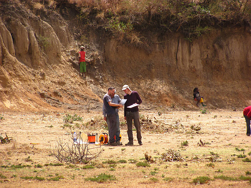 Discussions during an ERT sounding at Bisare River. Photo: Marc Seidel |
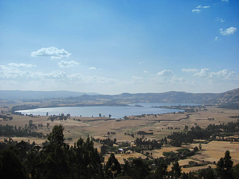 Panoramic view of the double crater system at Mount Dendi. Panoramic view of the double crater system at Mount Dendi.Photo: Marc Seidel |


")

")
